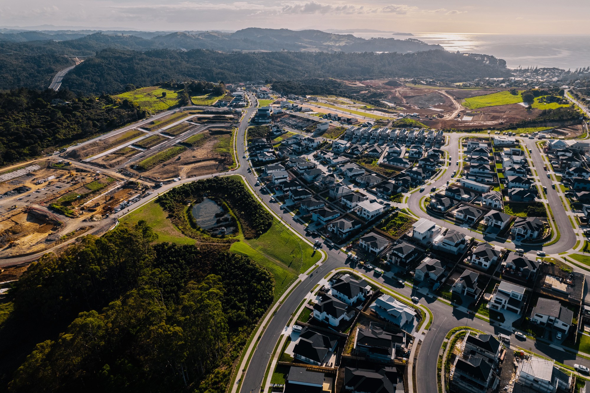
CKL supported an urban development project in Flat Bush with advanced drone surveying and 3D modelling technology to overcome the challenges of dense vegetation and complex terrain.
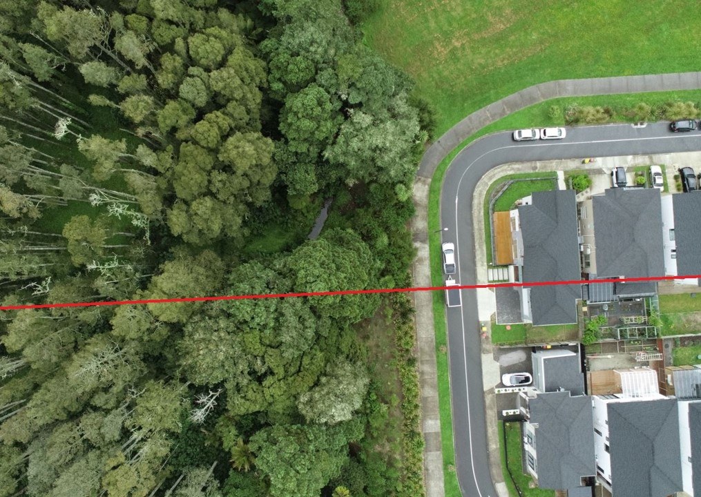
Our licensed drone pilots captured high-resolution orthographic and oblique aerial images of the site, alongside 3D LIDAR point cloud data. This enabled us to see through tree cover and undergrowth to accurately map the true ground surface, something that would have been time-consuming and difficult using traditional ground-based methods.
From the captured data, our survey team created a high-density Digital Surface Model at 400 points per square metre - far exceeding typical GIS data resolution. This model provided the foundation for detailed flood risk modelling by CKL’s stormwater design engineers.
Combining drone and LIDAR technology with our in-house stormwater expertise meant we could deliver a faster, safer, and more detailed assessment of the site. The result was a smarter design process and better outcomes for the client and consenting authorities.