

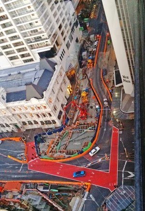
Defining the land beneath one of New Zealand’s largest infrastructure projects
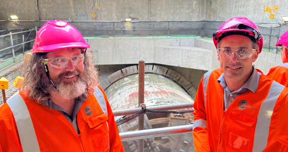
For more than 13 years, CKL has provided specialist surveying and land legalisation expertise to Auckland’s City Rail Link (CRL), helping establish the complex property framework required for New Zealand’s largest transport infrastructure project.
CKL’s involvement followed its work on the Waterview Connection, bringing valuable experience in defining underground land interests for major infrastructure.
The Challenge
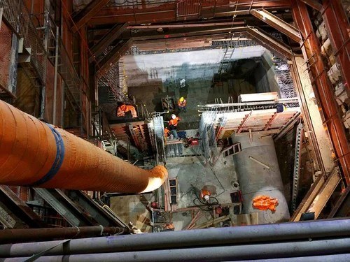
Running a new underground railway through the centre of an established city created a highly complex land legalisation challenge.
As the CRL tunnels passed beneath private properties, roads, unit title developments and other land interests, new legal parcels needed to be created to clearly define the railway infrastructure and separate it from the land above and around it.
The complexity increased around station precincts and major transport corridors, where multiple boundaries, ownership interests and vertical levels had to be accurately represented.
This required CKL to define the space occupied by the infrastructure in three dimensions, using plan views, cross-sections and levels to establish boundaries both horizontally and vertically. These complex three-dimensional parcels then needed to be represented clearly within the two-dimensional Landonline system and understood by the many stakeholders responsible for reviewing, approving and ultimately relying on the plans.
CKL’s Solution
Working across 14 property project zones defined by the CRL property team, CKL developed survey plans to define the new underground land parcels and accommodate the different property interests encountered along the route.
To date, CKL has lodged and gained approval for 30 survey plans across the project, alongside specialist work involving unit title developments where the tunnels pass beneath common property.
The team worked closely with CRL and Land Information New Zealand (LINZ) to establish a consistent approach to some highly unusual and complex survey plans.
This has included work beneath Auckland’s Spaghetti Junction motorway network, Pitt Street and Vincent Street. The Vincent Street plan was particularly complex, bringing together road and private property interests with three-dimensional requirements that had to be clearly defined both horizontally and vertically.
Continuity has also been critical. CKL has worked on CRL for more than 13 years, providing valuable institutional knowledge and maintaining strong working relationships as project teams, requirements and ownership arrangements have evolved.
The Outcome
CKL’s work has helped establish the legal property framework required for the City Rail Link beneath central Auckland.
While passenger services are now operating, CKL’s involvement continues, with further survey plans progressing beneath roads and around Maungawhau, Karanga-a-Hape and Te Waihorotiu stations as final land and ownership arrangements are worked through.
More than 13 years of involvement in City Rail Link demonstrates CKL’s specialist expertise in land legalisation and its ability to navigate the technical, legal and stakeholder complexity of major infrastructure projects.