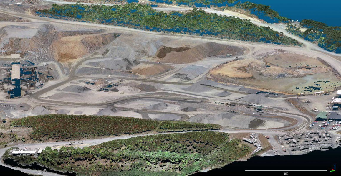
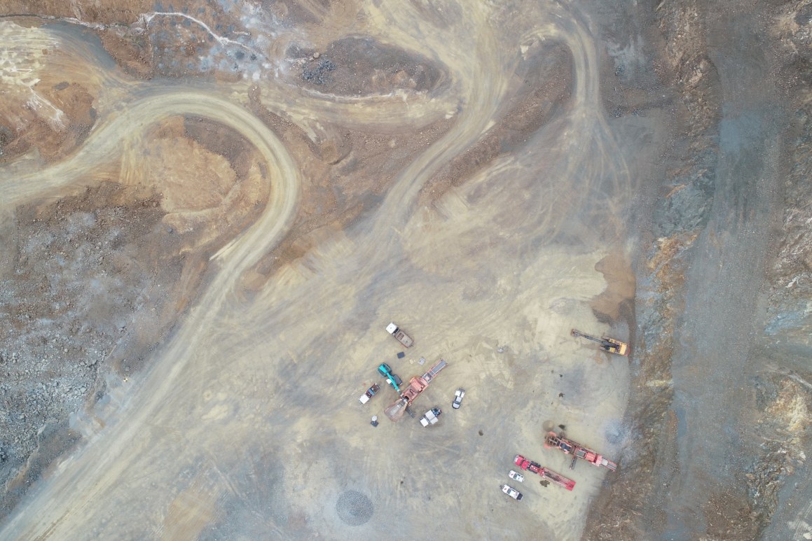
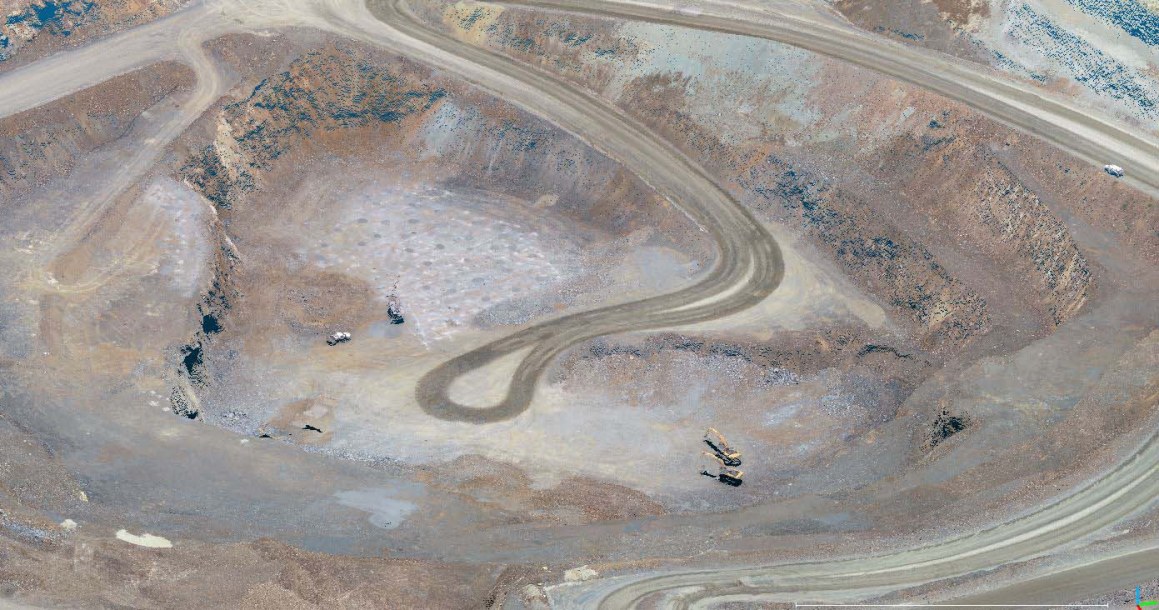
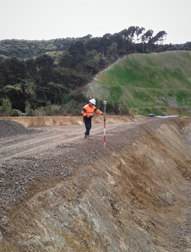
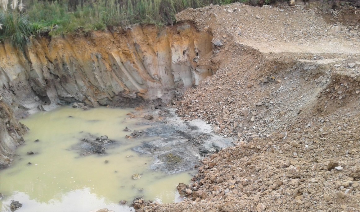
Winstone Aggregates’ Hunua Quarry is one of a number of projects where we have used Remotely Piloted Aircraft Systems (RPAS) to create 3D site models. Surveying the quarry using traditional methods would have taken several days and required a team on the ground. Using a drone, we were able to collect all the required data within two hours, and using Structure From Motion (SFM) photogrammetry techniques, create a highly detailed 3D terrain model in less than 48 hours. The combined use of drones and SFM technology has demonstrated significant benefit when working in challenging terrain or dangerous locations.