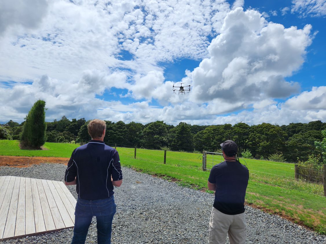
CKL has recently invested in new state-of-the-art scanning and drone technology, and as Hamilton surveying manager Adam Musa is discovering, it opens a world of new possibilities for our clients in remote sensing.
The initial leap forward
With the advent of drone technology, surveying made leaps and bounds in the types of terrain that could be mapped, and the amount of territory that could be covered. Drone tech also enabled scanning to be executed remotely, without surveyors being physically present at the site. Drone scanning was a game-changer.
However, as liberating as this technology is, it has limitations. Adam explains the constraints.
“CKL has been using drones for years, and we use a technique called photogrammetry. With photogrammetry, a stream of aerial photos are taken and used to form a 3D model of a landscape. It’s like Google Earth images, but in very high resolution. We use it a lot for measuring and mapping construction sites.
“The problem with photogrammetry is that it’s limited by what it can see. If the drone is flying above the top of trees, then we’re measuring the top of the trees, not the ground level that we’re primarily interested in.”
LiDAR makes the difference
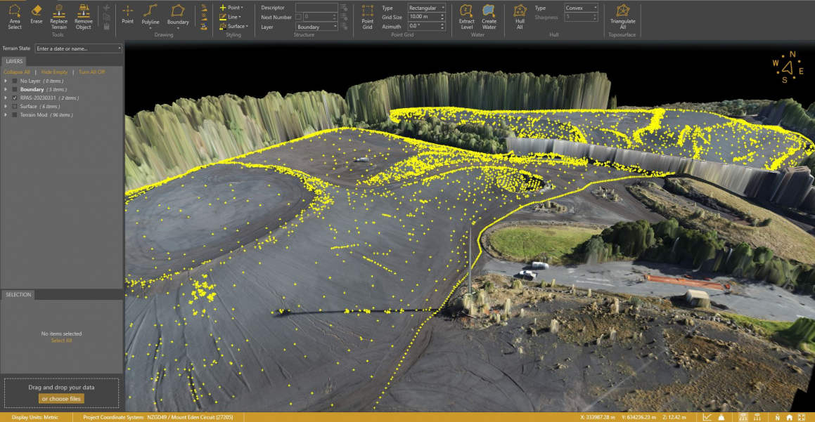
LiDAR stands for Light Detection and Ranging. A LiDAR 3D scanner maps three-dimensional space by simultaneously emitting multiple laser beams to measure the distances between the sensor and the objects it scans. When processed, measured data appears as millions of points (point clouds) on the computer monitor.
Adam explains how LiDAR can selectively solve the tree problem.
“LiDAR penetrates the tree canopy by shooting multiple laser pulses and measuring the time it takes for each to return. The laser that gets back first would have hit the tree tops. The second probably hit a branch. The third laser that takes the longest has gotten to the ground if there is a gap in the trees.
“From the millions of laser pulses emitted, we can create an accurate ground-scape by isolating and visualising only the laser points that took the longest time to return.”
Commercial applications and training
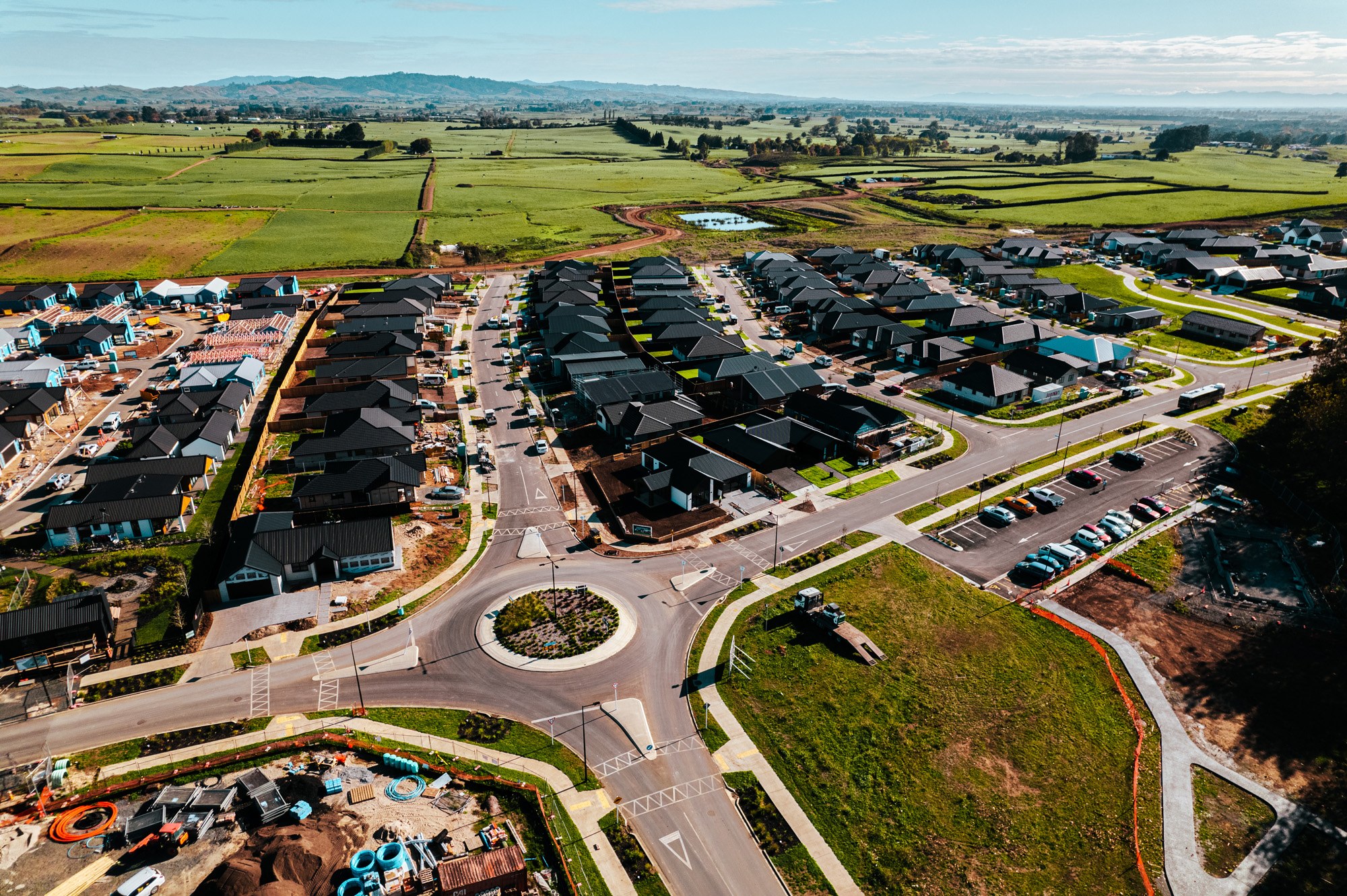
With LiDAR-capable, faster and more powerful drones at CKL’s disposal, significant areas can be covered: a kiwifruit block that needs to be mapped, or an area of bush that needs to be surveyed to create a protective covenant.
Adam and his team are currently upskilling to use the drone and laser technology for some exciting upcoming projects.
“Later this year, we’ll fly the drone across large areas of Auckland to scan the catchments for stormwater modelling. With the recent flooding in the city, this work is crucial for future upgrades.
“In days past, this would have taken weeks for us to map from the ground. Now we can do it in days, which is more economically viable.
Additional training undertaken by the surveying team means they now have the knowledge to fly near airports, above roads and other restricted areas. This means that the usual permissions from aviation authorities are not required.
“We’ve completed the Civil Aviation Authority’s Part 101 and 102 Pilot Training Course, learning the rules for drone flights within controlled or uncontrolled air space, as well as a competency test for our flying skills. While the technology is exciting, it’s important to understand the environments we fly in and the potential hazards at play.”
LiDAR tech in hand-held scanner
In addition to the drones, CKL surveyors are (literally) coming to grips with their new hand-held scanner.
“The scanner uses LiDAR technology to complement existing survey scanning techniques with its flexibility, speed of data gathering and ability to reach those otherwise inaccessible or unsafe areas. With well-trained and skilled operators, CKL is able to produce interactive, survey-accurate 3D models.
“We’re very excited about the new technologies, and can’t wait to offer these capabilities to our clients.”