
Spatial planning is often described as visionary work - maps, growth areas, long-term aspirations - but vision only becomes reality when infrastructure, economics and risk are tested early.
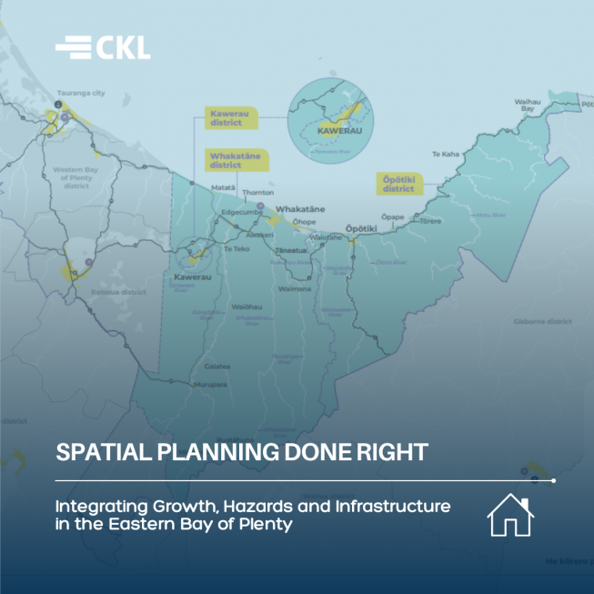
That was the challenge - and opportunity - in the development of Our Places – Eastern Bay of Plenty Spatial Plan, a 30-year framework guiding growth across Whakatāne, Kawerau and Ōpōtiki.
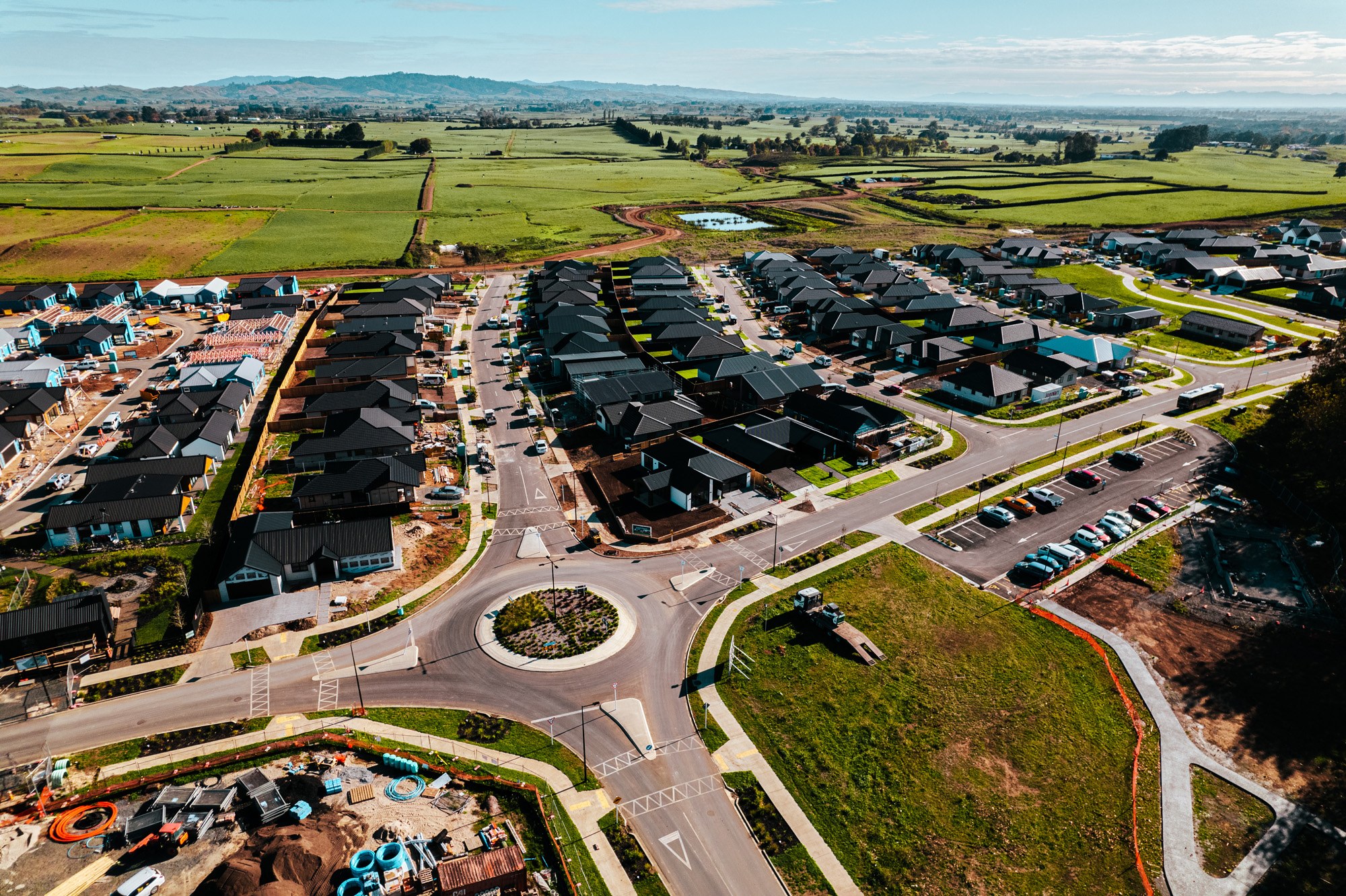
Now formally adopted by all four councils and already moving into implementation, the plan unlocks land for more than 5,500 new homes and business sites in resilient, priority locations.
CKL was part of the multi-disciplinary team supporting these Councils through this process, providing strategic three waters and infrastructure input alongside planners, transport specialists and economic advisors.
Looking at growth through an infrastructure lens
The Eastern Bay of Plenty faces complex pressures; limited developable land; high exposure to natural hazards; a changing climate, and economic deprivation.
Any future growth had to be not just desirable, but feasible and fundable.
CKL’s role focused on the region’s three waters infrastructure (water supply, wastewater and stormwater) and how those systems would enable or constrain different growth scenarios.
Over several stages of work, CKL:
- Assessed multiple growth nodes across the districts
- Evaluated bulk infrastructure requirements for each option
- Tested hybrid scenarios where more than one area developed
- Analysed climate-related impacts on existing water sources
- Examined flood risk, stopbank protection and long-term resilience
- Provided cost estimates that fed into development contribution modelling
The team worked alongside councils and other advisors to develop feasible options, testing each growth area against infrastructure capacity, cost, risk and net benefit.
Some locations that initially appeared attractive shifted position once infrastructure realities were considered. Others - including Awakeri and Hukutaia - emerged as more resilient and strategically sound growth areas.
This kind of integrated testing ensures spatial planning is grounded in delivery, not just aspiration.
Climate resilience as a strategic driver
Natural hazards were not treated as a footnote. The Eastern Bay of Plenty ranks among Aotearoa’s highest for hazard exposure, including river flooding and coastal risk.
The spatial plan deliberately used hazard and climate adaptation as a determinative lens for future settlement patterns.
In practical terms, that meant:
- Avoiding known flood-prone locations
- Considering long-term sea level rise impacts
- Evaluating managed retreat scenarios in vulnerable areas
- Identifying more resilient inland growth nodes
- Integrating stormwater planning into early decision-making
Rather than allowing hazard risk to stall progress, the spatial planning process used it to guide growth toward safer, more sustainable outcomes.
CKL’s stormwater and environmental expertise helped councils understand how proposed development would affect runoff, flood zones and sensitive receiving environments, ensuring future growth does not create unintended consequences.
Making growth economically viable
Spatial planning only works if it can be implemented, and one of the most critical phases of the project involved cost modelling and development contribution analysis. Bulk infrastructure requirements were costed, stress-tested and re-evaluated to ensure growth areas were financially realistic.
In some cases, infrastructure funding mechanisms needed reconsideration. Much of the required infrastructure was not yet programmed into long-term plans, meaning councils had to think strategically about sequencing and funding options.
This aligns with the plan’s “right place, right sequence, right time” approach to infrastructure delivery, which stages investment so growth is affordable, efficient and aligned with demand.
By embedding economic considerations alongside hazard, land use and infrastructure analysis, the Eastern Bay of Plenty plan moves beyond a static vision document to a practical implementation framework.
Collaboration at scale
Our Places was developed through co-governance between three district councils, Bay of Plenty Regional Council, iwi authorities and government agencies.
A dedicated engagement initiative, “Friends of Our Places,” was established to create an open forum for iwi, hapū, landowners, businesses, developers and the wider community to understand emerging options, test ideas and provide meaningful input throughout the process.
This early and ongoing engagement ensured that:
- Trade-offs were visible and openly discussed
- Growth options were tested against community priorities
- Iwi aspirations were embedded into tangible outcomes
- Economic, social and environmental perspectives were considered together
More than 550 pieces of engagement feedback were incorporated into the final plan, and over 100 rangatahi contributed ideas about the future of their rohe.
While CKL’s primary role was technical, the work occurred within this broader collaborative environment, supporting evidence-based decision-making and transparent evaluation of trade-offs.
The result is a spatial plan that has been unanimously adopted and is already progressing through:
- Structure planning for Awakeri
- Plan change work at Hukutaia
- District plan updates and economic development initiatives
What this means for councils starting spatial planning now
As spatial planning gains prominence under national reform discussions, the Eastern Bay of Plenty experience offers practical lessons:
- Start early — embedding infrastructure realities and genuine consultation from day one, so options are tested transparently and without surprises.
- Test growth scenarios openly and without predetermined outcomes.
- Integrate hazard and climate risk as core determinants, not constraints to work around.
- Align spatial planning with funding pathways and implementation sequencing.
- Break down silos between planning, engineering, transport and finance teams.
CKL’s integrated capability across planning, transportation, environmental and three waters disciplines enables councils to assess growth holistically, ensuring spatial plans are defensible, fundable and resilient.
Spatial planning is not a new idea, but as growth pressures intensify and climate risks increase, doing it well - and doing it collaboratively - matters more than ever.
The Eastern Bay of Plenty Spatial Plan demonstrates what happens when long-term vision is matched with integrated technical input, early engagement and a clear pathway to delivery.